New NASA Satellite to Map the Earth’s Seas
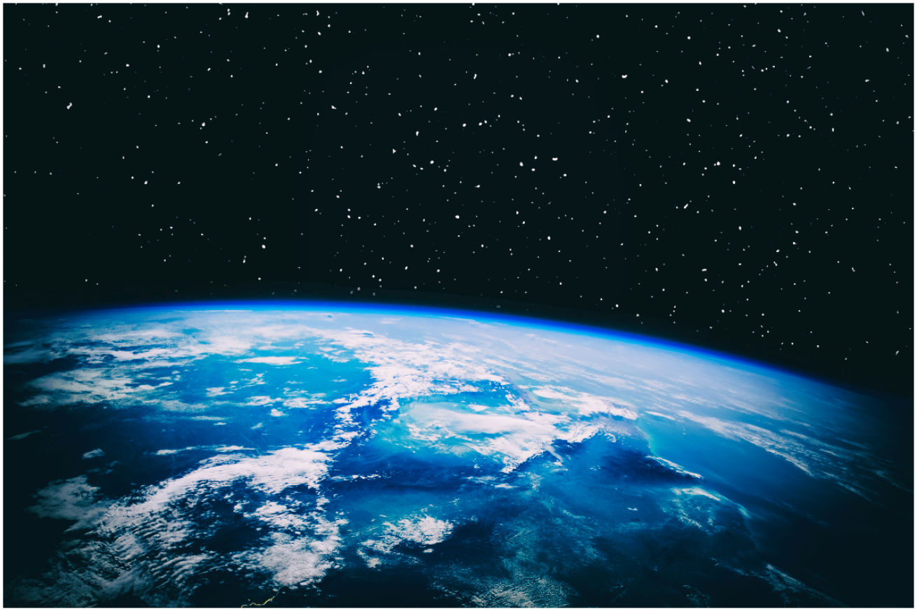
Shutterstock/AlonesIn 2022, NASA and its partners launched a satellite to map Earth's oceans, seas, and other water reservoirs.
In Dec. 2022, NASA and its international space agency partners launched a new, sophisticated satellite from California that will scan the world’s water. The Surface Water and Ocean Topography (SWOT) satellite, an SUV-sized device, will survey and map the planet’s oceans, rivers, lakes and reservoirs. Over time, such maps could give scientists new insight into climate-related changes from hurricane damage to rising seas and disappearing coastlines.
The joint mission, shared with France, Canada and the United Kingdom, will use a cloud-penetrating radar to scan almost 90% of the Earth’s water—basically everything except the planet’s poles—in order to create high-resolution maps. SWOT can image lakes larger than 15 acres (roughly 820 ft. x 820 ft.), and rivers wider than 330 ft. across, SWOT team’s hydrology science lead Tamlin Pavelsky says. Globally, therefore, SWOT will survey millions of lakes and trace roughly 1.3 million miles of rivers – many of which are data-poor because they’re difficult to access by land.
“The key advance for SWOT is that we’ll be able to simultaneously measure the extent and height of water. Adding that new dimension is critical because it allows us to think about things in terms of changes in volume over time,” says Pavelsky.
The key to this new imaging power is SWOT’s Ka-band Radar Interferometer – or KaRIn. This instrument sends a 1.5 kilowatt radar pulse to the ground and waits for the reflected signal a few milliseconds later. Two antennae, each at the end of a 33-foot boom, read the signal back. The slight difference between initial and reflected signals allows the KaRIn to triangulate to determine the height of water.
“This instrument will be able to measure the height of water with centimeter accuracy. To think we can improve accuracy by a factor of 100 [over existing satellites], and from a distance of almost 900 kilometers away from the surface, is kind of incredible,” says Daniel Esteban-Fernandez, a NASA Jet Propulsion Laboratory (JPL) engineer who helped develop KaRIn.
Steve Nerem, a University of Colorado scientist who uses satellite data to study sea-level rise, says, “Instead of a ‘pencil beam’ moving along the Earth’s surface from a satellite, it’s a wide swath. [SWOT]’ll provide a lot more information, a lot more spatial resolution, and hopefully better coverage up close to the coasts.” He is not involved with SWOT.
The satellite will orbit the entire planet and repeat its imaging of every place every 21 days during its three-year mission. Comparing such images, scientists can interpret how water cover is changing over time. This data can be used in a variety of applications, including understanding water availability for crop irrigation in rural areas to measuring the extent of flooding events to assessing climate vulnerability in developing nations.
The precise satellite data will help quantify and illustrate the future of sea-level rise, floods and droughts across the globe. “Within our satellite record, we’ve seen sea-level rise along US coastlines going up fast over the past three decades,” says JPL sea-level rise scientist and SWOT science team member Ben Hamlington. Indeed, the rate of sea-level rise is accelerating, especially on the Gulf and East Coasts of the US.
Hamilton also argues that the data means we aren’t doomed; we can use the new information to fend off the most extreme projected outcomes. “Reducing emissions takes some of the higher projections of sea-level rise off the table,” he says. “Since catastrophic ice sheet loss will only occur under very warm futures, if we can limit warming going forward, we can avoid worst-case scenarios.”

